Minato (Shiba Park)
Shiba Park & Tokyo Tower Course
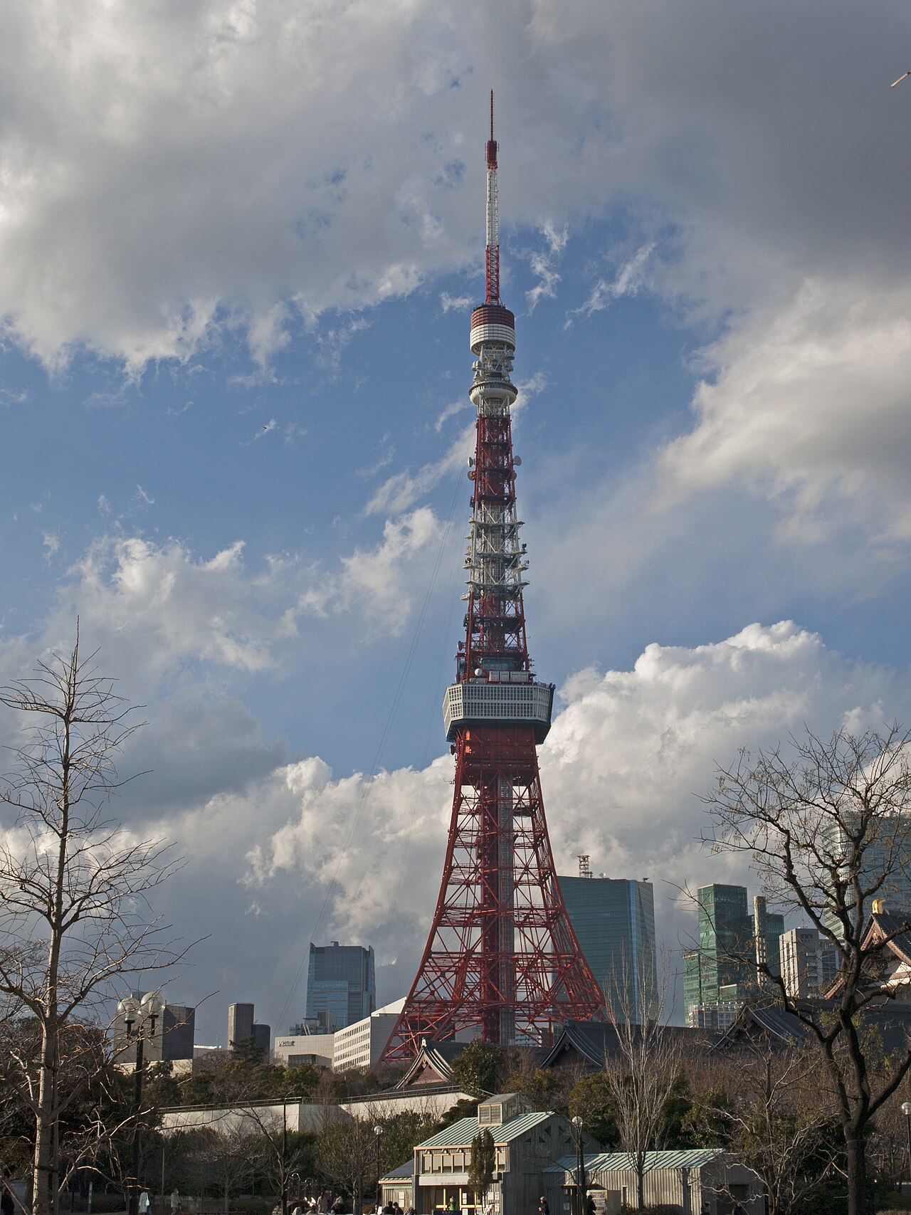
A loop around the park’s perimeter with views of the illuminated Tokyo Tower.
- Distance
- Approx. 6.0km
- Laps / route type
- Approx. 1.5km perimeter × 4 laps
- Night running
- ○

Course essentials
| Distance | Approx. 6.0km |
|---|---|
| Laps / route type | Approx. 1.5km perimeter × 4 laps |
| Nearest station | Onarimon Station (Just outside Exit A1) |
| Meeting point | In front of Onarimon Station Exit A1 |
| Night running | ○ The illuminated Tokyo Tower is a landmark. A light is helpful in the darker parts of the park. |
Highlights
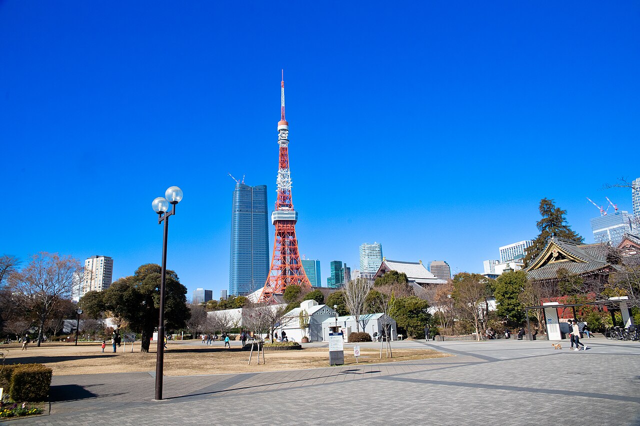
- A central Tokyo route at the foot of Tokyo Tower
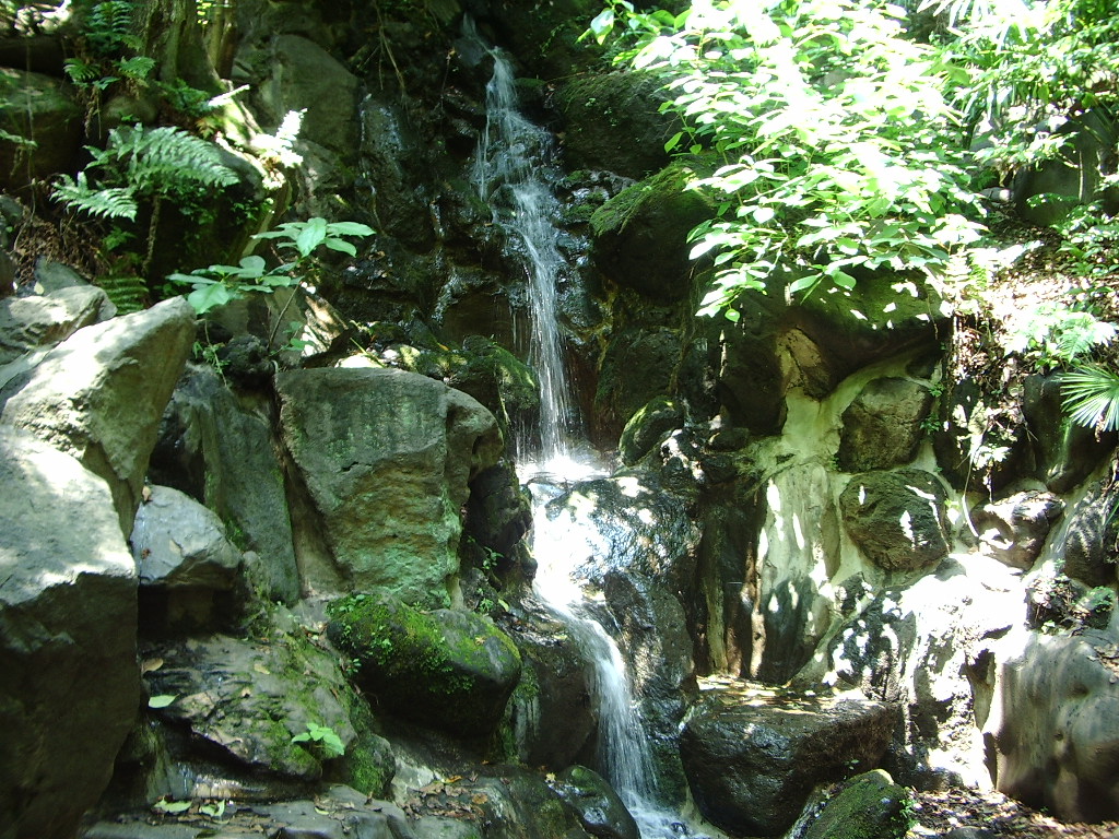
- Highlights include Zojoji Temple and Momijidani
- The perimeter is mainly road, making laps easy to follow
Seasonal notes
Autumn leaves in Momijidani are at their best from late November to early December.
Route map
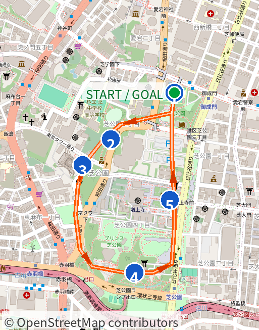
Import it into an Apple Watch-compatible app such as WorkOutDoors to view the route and check your pace.
GPX data is generated from schematic route lines. Loop courses contain one lap, including connecting paths; the Meguro River course contains the full out-and-back route, including station access. Track lengths may differ from the published distances.
Route animation
Preview the course in this video.
Aerial preview
A preview video that traces the route over satellite imagery, from start to goal, followed by on-site photos along the course.
Run itinerary
- Cumulative 0.0 kmMeet and start (Onarimon Station, Exit A1)
- Cumulative 0.6 kmNear Momijidani
- Cumulative 1.0 kmSection with views of Tokyo Tower
- Cumulative 1.5 kmPass Zojoji Temple and complete lap 1
- Cumulative 6.0 kmComplete 4 laps and finish
Course photos
© koji_h / CC BY 3.0
View original on Wikimedia Commons

© Dick Thomas Johnson from Tokyo, Japan / CC BY 2.0
View original on Wikimedia Commons

© Ymblanter / CC BY-SA 4.0
View original on Wikimedia Commons
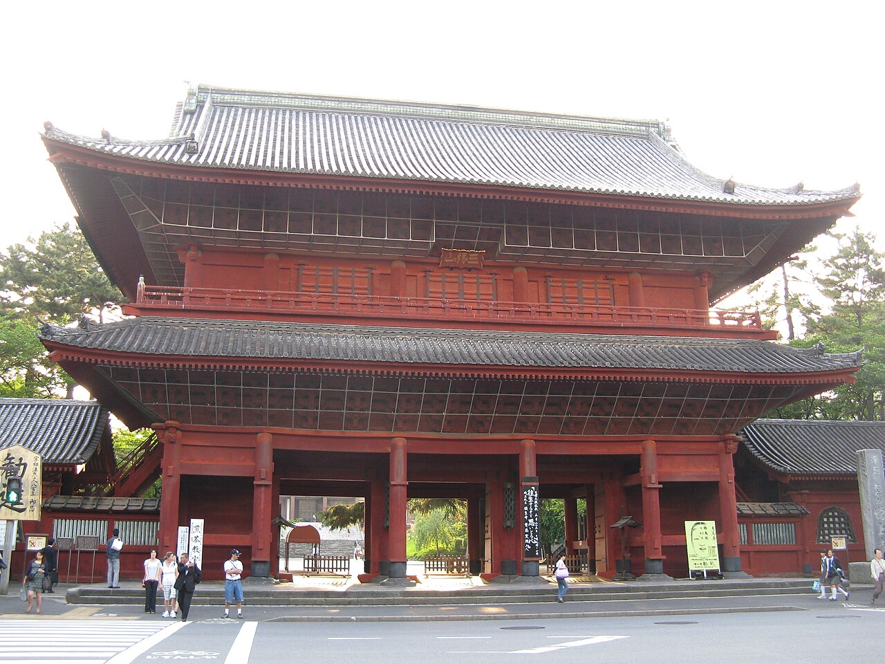
© KENPEI / CC BY-SA 3.0
View original on Wikimedia Commons

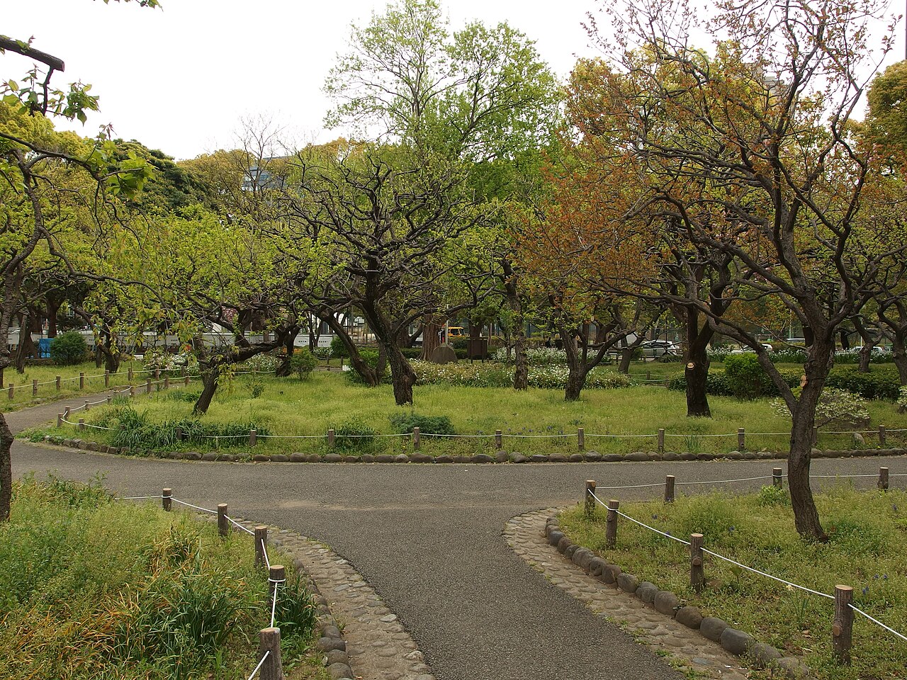
© Guilhem Vellut from Annecy, France / CC BY 2.0
View original on Wikimedia Commons

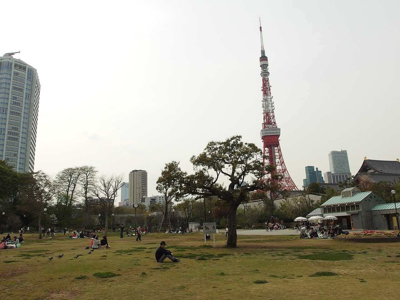
© Guilhem Vellut from Annecy, France / CC BY 2.0
View original on Wikimedia Commons

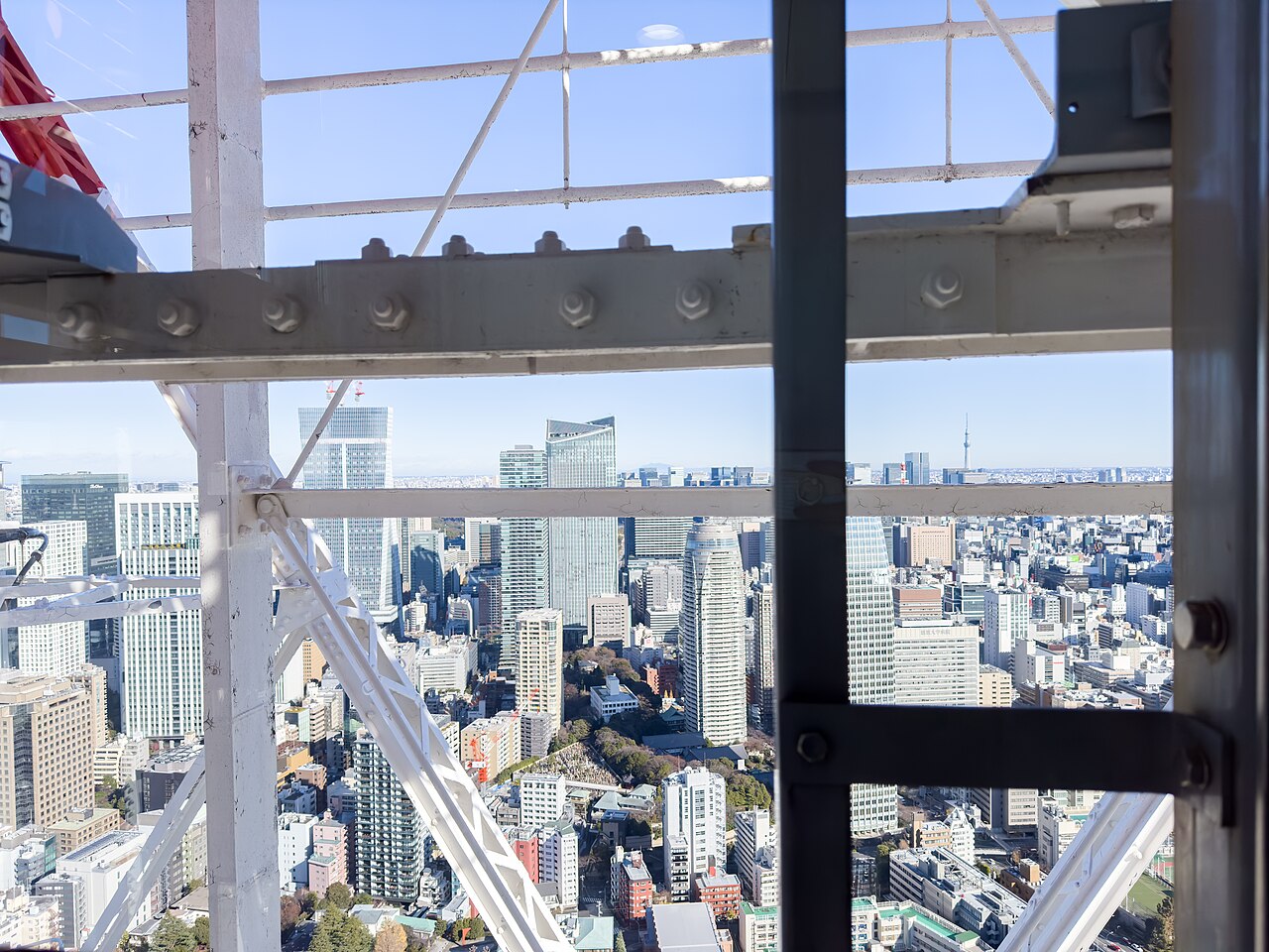
© Dick Thomas Johnson from Tokyo, Japan / CC BY 2.0
View original on Wikimedia Commons

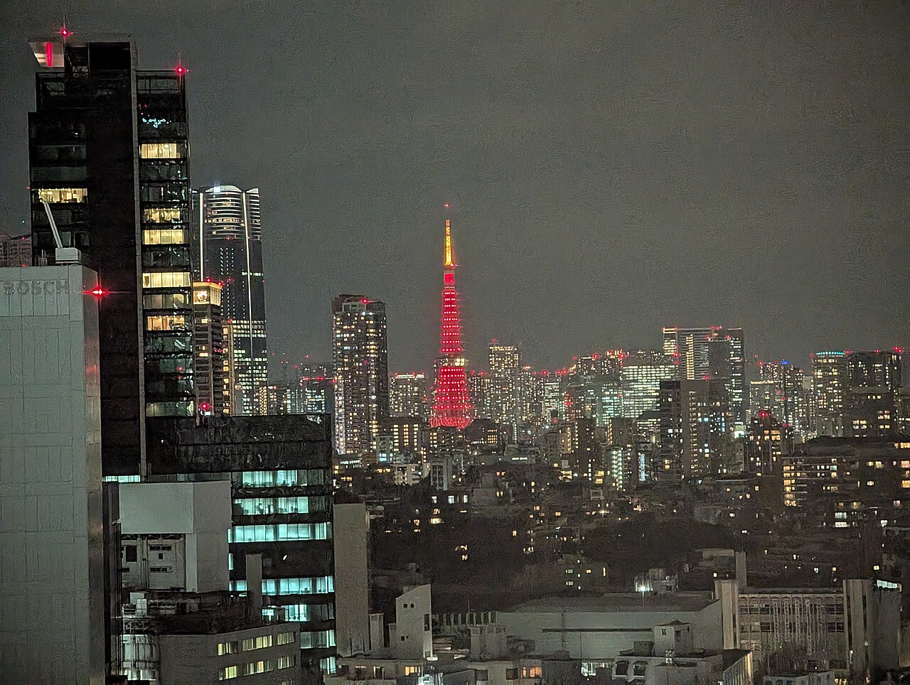
© Syced / CC0
View original on Wikimedia Commons

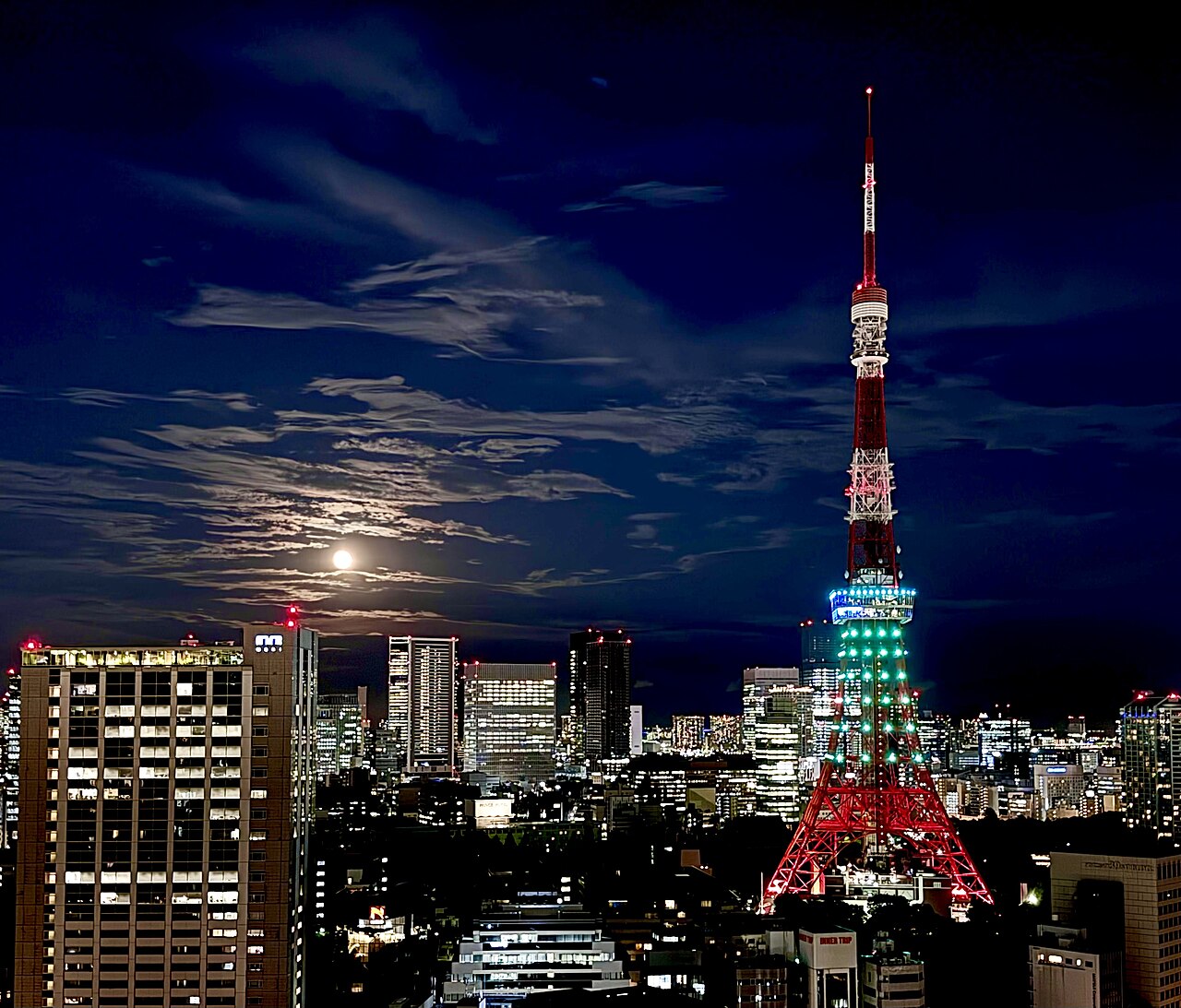
© Joi Ito / CC BY 2.0
View original on Wikimedia Commons

Lockers & running facilities
Use coin lockers at nearby stations (Onarimon, Shibakoen, Daimon and Hamamatsucho).
Cautions
- There are no distance markers on the route
- Watch your footing in darker parts of the park
Photo credits for this course
- File:都立芝公園 11号地 もみじ谷 - panoramio.jpg
© koji_h / CC BY 3.0 - File:Minato City Shiba Park (53081195606).jpg
© Dick Thomas Johnson from Tokyo, Japan / CC BY 2.0 - File:Tokyo Tower seen from Shiba Park.jpg
© Ymblanter / CC BY-SA 4.0 - File:Zojo-ji sanmon.jpg
© KENPEI / CC BY-SA 3.0 - File:Shiba Park (13842649745).jpg
© Guilhem Vellut from Annecy, France / CC BY 2.0 - File:Shiba Park (13843010524).jpg
© Guilhem Vellut from Annecy, France / CC BY 2.0 - File:Tokyo Tower (53081173976).jpg
© Dick Thomas Johnson from Tokyo, Japan / CC BY 2.0 - File:Red Tokyo Tower.jpg
© Syced / CC0 - File:Tokyo Tower and Full Moon.jpg
© Joi Ito / CC BY 2.0